How to Use an Interactive Flood Map
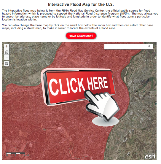
An interactive flood map can help you understand where flooding may occur, check local conditions, and plan safer routes. Unlike a static map, an interactive map lets you zoom in, search for an address, and turn different information layers on or off. It can be a useful planning tool for Texas residents, where heavy rain, river flooding, coastal storms, and flash floods can affect communities across the state.
What an Interactive Flood Map Shows
Depending on the map, you may be able to view:
- Flood hazard areas: Places identified as having a certain level of flood risk.
- Flood zones: Designations that help describe potential risk and may be used for planning or insurance purposes.
- Rivers, creeks, and drainage features: Waterways and other geographic features that can help explain local flood patterns.
- Rainfall or water-level information: Some maps include recent observations or monitoring data.
- Road closures and alerts: Certain services may show reported closures, emergency notices, or other current conditions.
Available information varies by map provider, location, and update schedule. A map showing flood hazards is not necessarily a live view of current flooding.
How to Use the Map
- Search for a location. Enter an address, city, ZIP code, or landmark. Confirm that the map has centered on the correct place.
- Zoom in and review nearby features. Look at nearby streams, low-lying areas, drainage channels, and roads—not just the property itself.
- Explore the layers. Turn on relevant flood zones, rainfall, water levels, or closure information. Check the map’s legend to understand colors and symbols.
- Check the data date and source. Find out when the information was last updated and whether it describes long-term risk or current conditions.
- Compare with official updates. During an emergency, confirm conditions with local officials and trusted alert services.
Understanding Flood Risk
Flood risk is not limited to areas near a major river or coastline. Intense rainfall can overwhelm drainage systems, and flash flooding can happen quickly in streets, underpasses, and low-water crossings. A location outside a mapped high-risk zone can still flood, while conditions within a mapped zone can vary from one property to another.
Flood maps are valuable for understanding potential hazards, but they cannot predict exactly where or when flooding will happen. Local drainage, construction, changing weather, and other factors can affect actual conditions.
Use Maps for Planning, Not as a Safety Guarantee
Before severe weather, use an interactive flood map to learn about your area and identify more than one possible route to safety. Keep in mind that a route that is normally clear may become dangerous during heavy rain. Never drive or walk through floodwater. Water can be deeper or faster-moving than it appears, and roads beneath it may be damaged or washed out.
If flooding is occurring, follow instructions from emergency officials and use current road-closure and weather information. Do not rely on a map alone to decide whether a road or crossing is safe.
Check Trusted Sources
For dependable information, look for the map provider’s data sources, update times, and explanations of its flood zones. In the United States, FEMA flood maps can help with understanding mapped flood hazards. For active weather and emergency conditions, consult the National Weather Service, local emergency management agencies, and local transportation authorities.
An interactive flood map is most useful when paired with current official alerts and a household emergency plan. Learn your area before storms arrive, keep important information accessible, and be ready to change plans when conditions change.
7 Essential Tips for Navigating Interactive Flood Maps
- Enter an address to check local flood risk.
- Zoom in for street-level details.
- Toggle layers to compare flood scenarios.
- Check the map’s legend for color meanings.
- Look for the map’s data date and source.
- Click map features for additional details.
- Use official alerts for urgent safety guidance.
Enter an address to check local flood risk.
Enter your address in an interactive flood map to see mapped flood hazards near your home, workplace, or other places you visit. Zoom in and review nearby waterways, low-lying areas, and the map legend so you understand what the information shows. Flood maps help with planning, but they don’t predict current conditions or guarantee that an area won’t flood. For active flooding, check local emergency alerts and never travel through floodwater.
Zoom in for street-level details.
Zoom in on an interactive flood map to see street-level details that may be hard to spot from a wider view. Check nearby creeks, drainage channels, low-lying streets, underpasses, and possible routes out of the area. These details can help you plan ahead, but map information may not reflect current conditions. During flooding, follow local alerts and never drive or walk through floodwater.
Toggle layers to compare flood scenarios.
Toggle the map’s layers to compare different flood scenarios and understand how changing conditions may affect your area. For example, switch between flood hazard zones, rainfall data, river levels, and projected inundation to see which roads or nearby locations could be affected. Check the map legend and data dates as you compare layers, and remember that scenarios are estimates—not a guarantee of current conditions. During an emergency, follow official alerts and never enter floodwater.
Check the map’s legend for color meanings.
Check the map’s legend before interpreting its colors. Different maps may use the same colors to represent different flood zones, water levels, or risk categories, so don’t assume a shade means the same thing everywhere. The legend explains what each color and symbol represents, helping you understand the map accurately and make better-informed decisions.
Look for the map’s data date and source.
Check the map’s data date and source before relying on what you see. Flood maps may show long-term risk rather than current conditions, and some data may be outdated or updated on a different schedule. Look for when the information was last revised and who provided it, then compare it with current alerts from local officials and trusted weather agencies.
Click map features for additional details.
Click individual features on the interactive flood map to learn more about them. Depending on the map, selecting a flood zone, road, river, or monitoring station may reveal details such as its name, risk level, current water conditions, or data source. Review these details alongside the map legend and update time to better understand what the information means.
Use official alerts for urgent safety guidance.
Use official alerts for urgent safety guidance during a flood threat. Check updates from local emergency management officials, the National Weather Service, and state or local authorities for evacuation notices, flash flood warnings, road closures, and shelter information. An interactive flood map can help you understand the area, but it may not reflect rapidly changing conditions, so follow official instructions and never enter flooded roads or crossings.